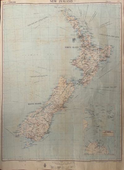
1964. This map is the real McCoy from 60+ year ago - not a modern reproduction.
Browse By Category
Latest Maps / Atlas Books
1000s of books in stock – Showing the latest 200 books below. Please use the search section at the top of the page or select a category.
$59.95NZD
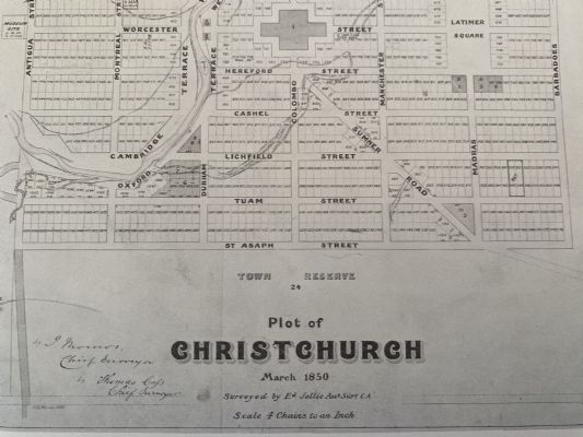
1850. Reproduction from 50+ years ago of city of Christchurch map originally produced in 1850 by Ed. Jollie, Assistant Surveyor.
$89.95NZD
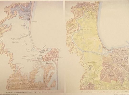
1965. Reproduction of plan of Napier City in 1865, comparing; > Ahuriri Lagoon, Scinde Island and surrounds up to 1865. > 100 years of progress 1965 after reclamations and earthquake action.
$79.95NZD
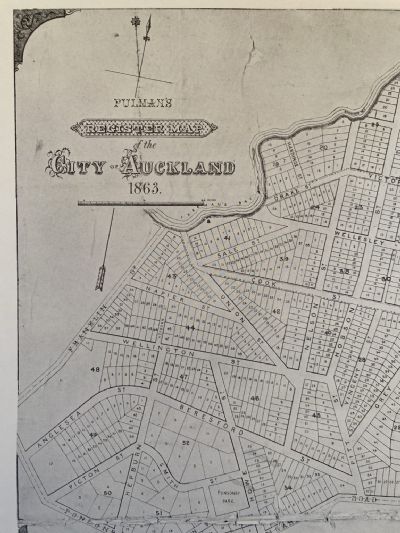
1863. Reproduction of city of Auckland map originally produced in 1863 by G. Pulam, Lithographer of Auckland.
$89.95NZD
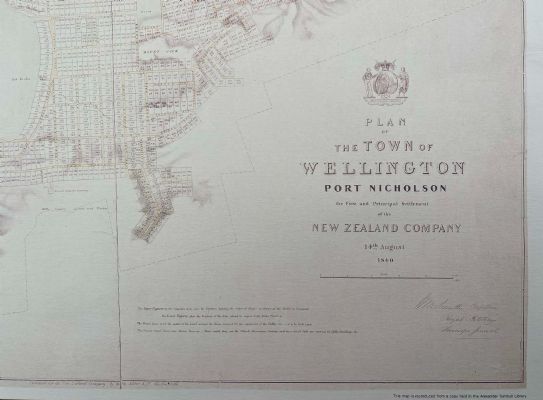
1840. This map is a modern reproduction from the 1840s original held by the Alexander Turnbull Library, by the Department of Lands and Survey.
$199.95NZD
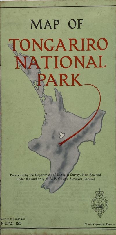
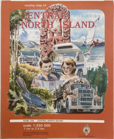
1950s. Vintage Tongariro National Park map reference NZMS 150.
$199.95NZD
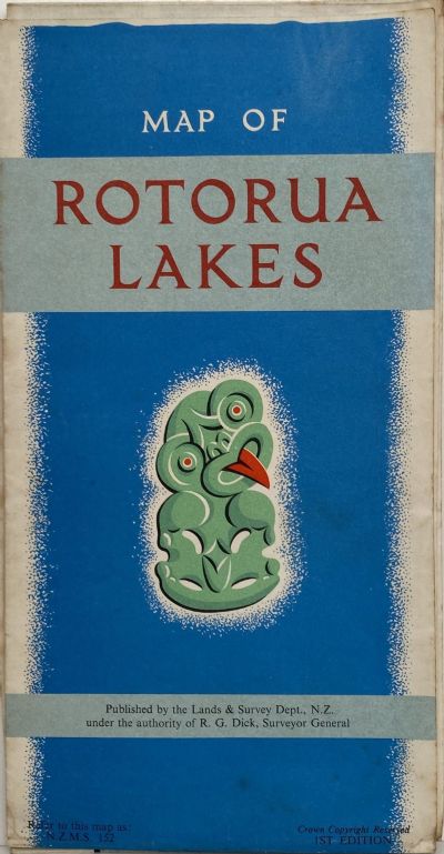
1960s. Vintage map from generations ago - not a modern reproduction.
$199.95NZD
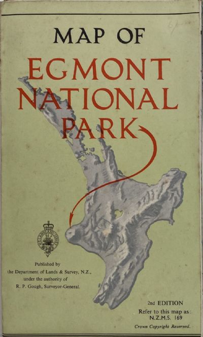
1950s. 1st edition. This map is the real McCoy from generations ago - not a modern reproduction.

$89.95NZD
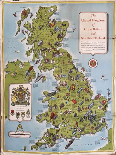
1952. This folded map pictorially illustrates the history of Scotland.
$44.95NZD
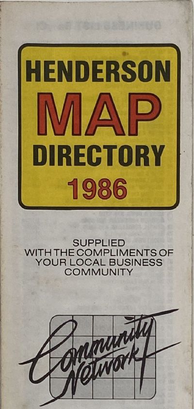
1986. Vintage map of the Henderson in Auckland, New Zealand.
$44.95NZD
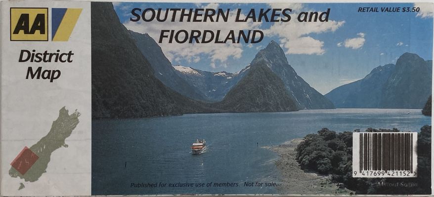
1993. Vintage road map of the Southern Lakes and Fiordland region of the South Island of New Zealand.
$39.95NZD
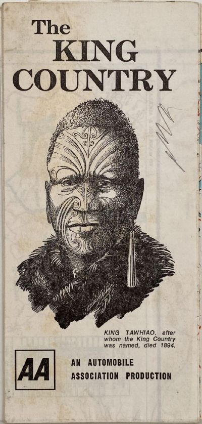
1960. Vintage map of The King Country region in the North Island of New Zealand.
$44.95NZD
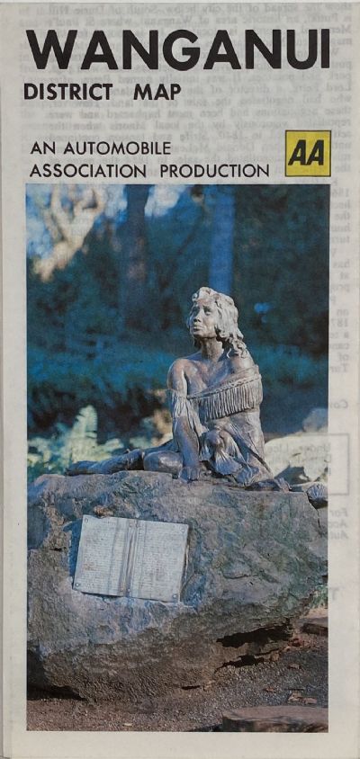
1980. Vintage road map of the Wanganui region of the North Island of New Zealand.
$24.95NZD
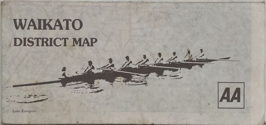
1980. Vintage map of the Waikato District region in the North Island of New Zealand.
$44.95NZD
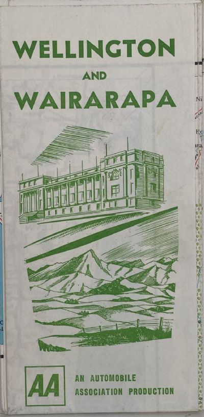
1960. Vintage map of the Wellington and Wairarapa region in the North Island of New Zealand.
$44.95NZD
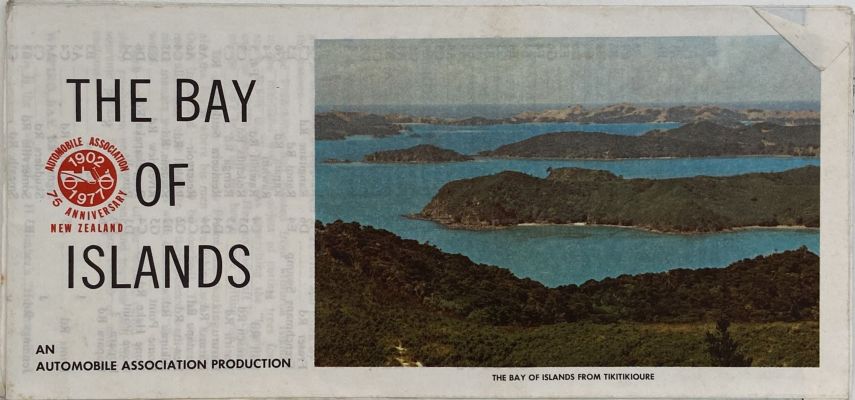
1977. Vintage map of the Bay of Islands region in the North Island of New Zealand.
$44.95NZD
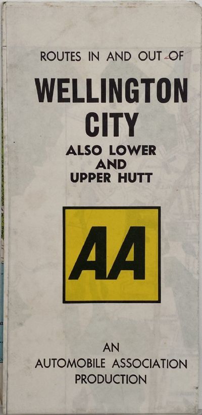
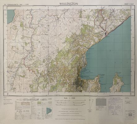
1980. Vintage map of the Wellington City and Lower and Upper Hut region in the North Island of New Zealand.
$39.95NZD
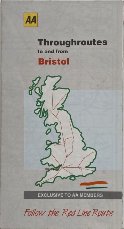
1994. Vintage road map of the throughroutes to and from Bristol in the UK published by the Automobile Association.
$44.95NZD
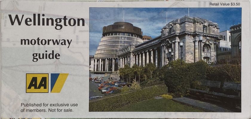
1980. Vintage map of the Wellington Motorway Guide in the North Island of New Zealand.
$44.95NZD
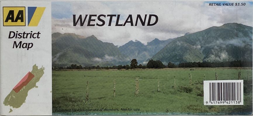
1993. Vintage road map of the Westland region of the South Island of New Zealand.
$39.95NZD
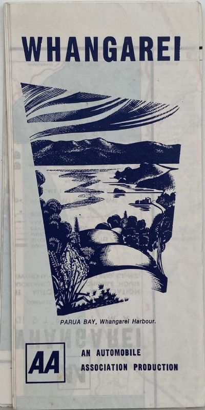
1970. Vintage road map of the Whangarei region of the North Island of New Zealand.
$44.95NZD
1980. Vintage road map of the Hamilton region of the North Island of New Zealand.
$44.95NZD
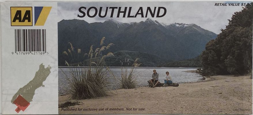
1980. Vintage road map of the Southland region of the South Island of New Zealand.
$44.95NZD
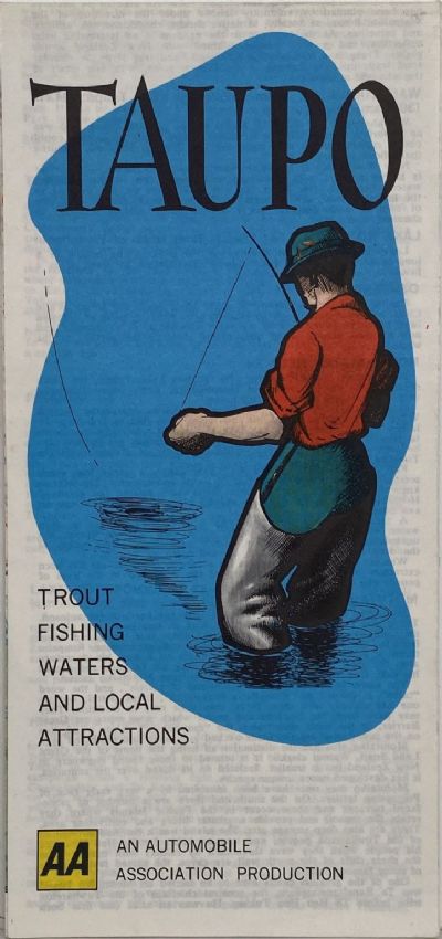
1980. Vintage road map of the Taupo region of the North Island of New Zealand.
$44.95NZD
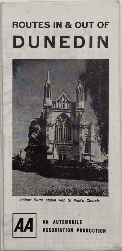
1960. Vintage map of the Routes in and out of Dunedin region in the South Island of New Zealand.
$44.95NZD
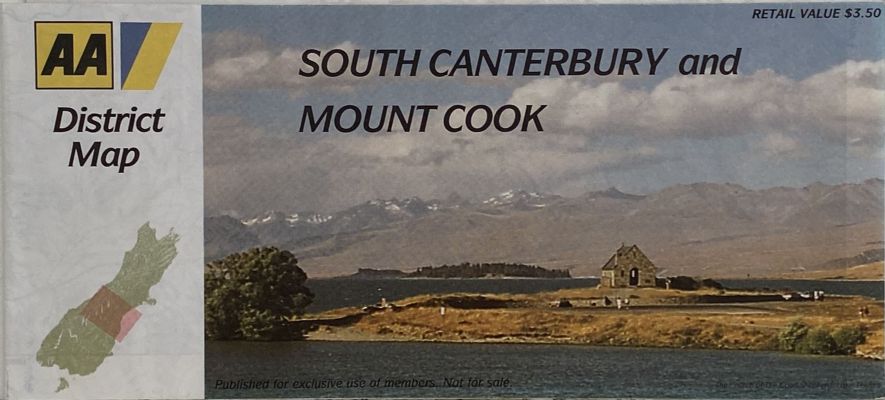
1980. Vintage road map of the South Canterbury and Mount Cook region of the South Island of New Zealand.
$59.95NZD
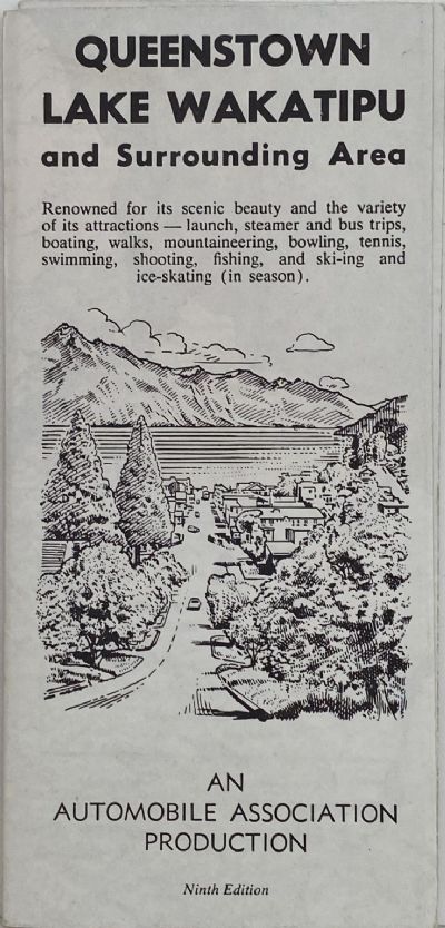
1960s. Vintage map of the Queenstown and Lake Wakatipu region in the South Island of New Zealand
$44.95NZD
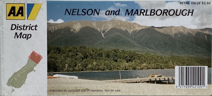
1993. Vintage road map of the Nelson and Marlborough region of the South Island of New Zealand
$44.95NZD
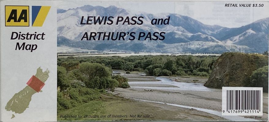
1993. Vintage road map of the Lewis Pass and Arthur's Pass regions of the South Island of New Zealand
$44.95NZD
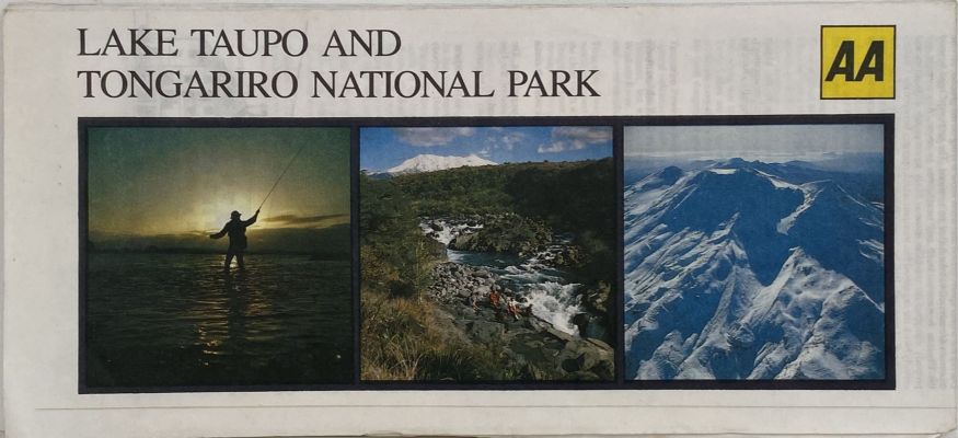
1980s. Vintage road map of the Lake Taupo and Tongariro National Park region of the North Island of New Zealand.
$39.95NZD
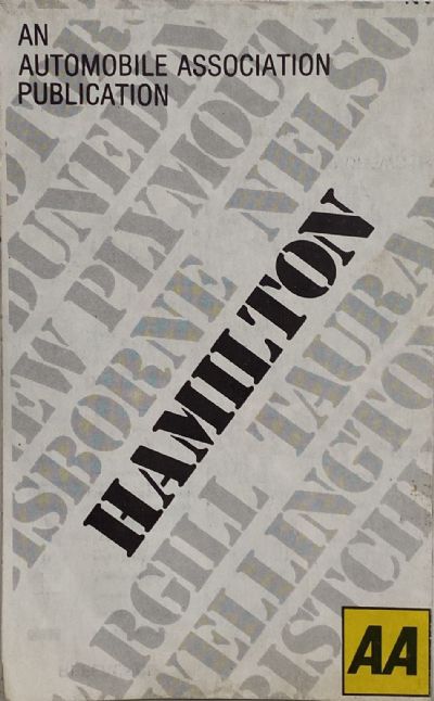
1980s. Vintage road map of the Hamilton region of the North Island of New Zealand.
$44.95NZD
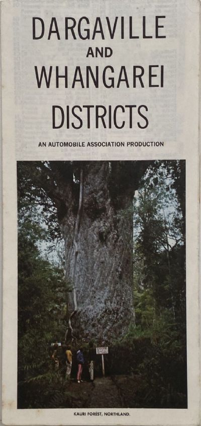
1980. Vintage road map of the Dargaville and Whangarei Districts of the North Island of New Zealand.
$39.95NZD
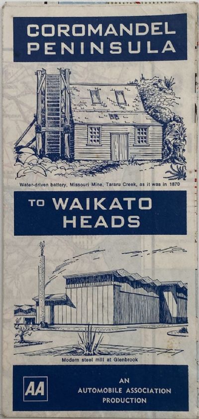
1970s. Vintage road map of the Coromandel Peninsula region of the North Island of New Zealand.
$44.95NZD
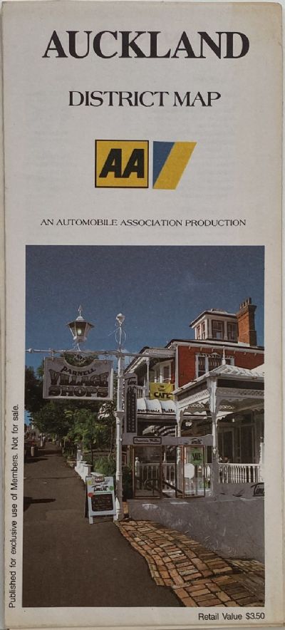
1993. Vintage road map of the Auckland region of the North Island of New Zealand.
$44.95NZD
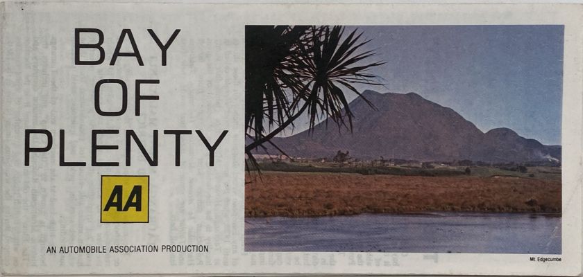
1980. Vintage road map of the Bay of Plenty region of the North Island of New Zealand.
$39.95NZD
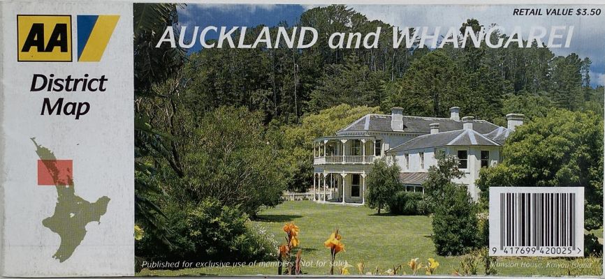
2000. Vintage road map of the Auckland and Whangarei regions of the North Island of New Zealand.
$29.95NZD
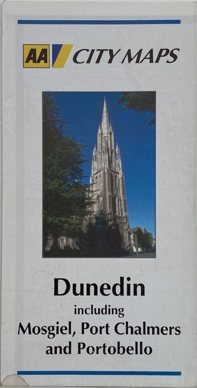
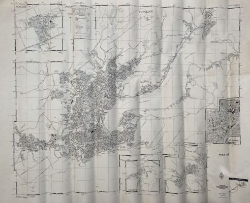
1996. 1st edition. Vintage city map of the Dunedin, Mosgiel, Port Chalmers, Portobello regions of the South Island of New Zealand.
$59.95NZD
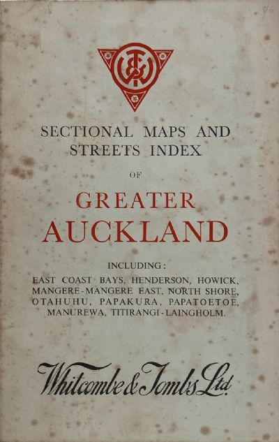
1940s. Vintage book of 36 sectional street maps of Auckland city and surrounding suburbs.
$199.95NZD
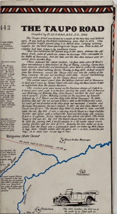
1959. The Taupo Road map complied by Lt. Col. R.M. Bell and drawn by C.B. Wilkinson.
$149.95NZD
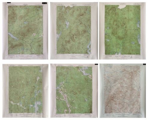
1980s. Vintage set of 6x State of Maine USA maps complete, plus separate symbols key.
$499.95NZD
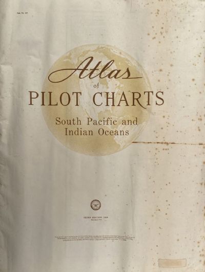
1966. Vintage bound volume of nautical pilot charts of the South Pacific and Indian Oceans, from 60+ years ago.
$149.95NZD
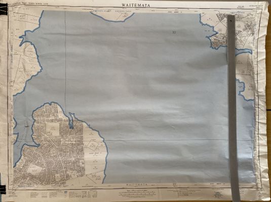
1967. 1st edition. Vintage Cadastral Map of Waitemata Harbour and surrounds, from 59+ years ago.
$79.95NZD
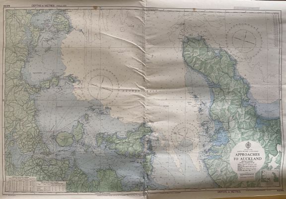
1975. Vintage Admiralty Chart of Approaches to Auckland NZ533, from 51+ years ago.
$79.95NZD
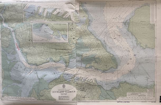
1975. Vintage Admiralty Chart of Auckland Harbour NZ5322, from 51+ years ago.
$69.95NZD
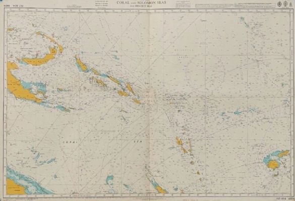
1980. Vintage Admiralty Chart of Coral and Solomon Seas and Adjacent Seas, from 46+ years ago.
$149.95NZD
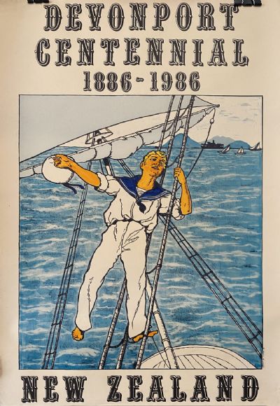
1986. Own a unique piece of history - this poster is the real McCoy from generations ago - not a modern reproduction.
New Book
ISBN# 9781869621261
$99.95NZD
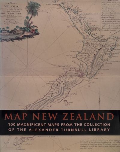
2006. A selection of 100 of the most important, beautifully made, quirky, humorous and sometimes poignant maps from the comprehensive Alexander Turnbull Library collection.
$79.95NZD
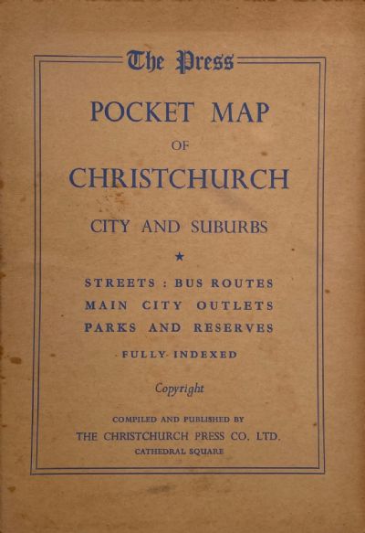
1965. A vintage folded lithograph map of Christchurch, city and suburbs in a card hardcover.
$89.95NZD
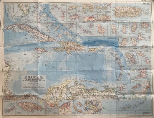
1954. Original map of the Caribbean / West Indies region.
New Book
$49.95NZD
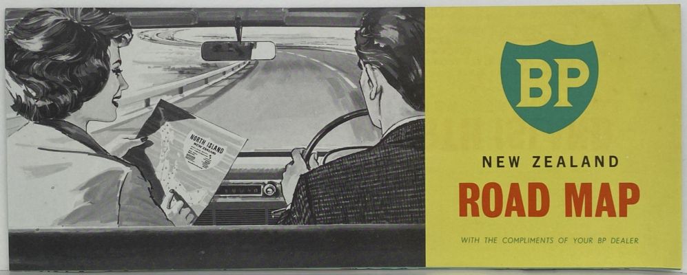
1980. Vintage road map of the North Island, New Zealand.
$199.95NZD
1942. Issued by Department of Lands and Survey.
$199.95NZD
1952. 1st edition. Vintage topographical map - this map is the real McCoy from generations ago - not a modern reproduction.
$99.95NZD
1945. 1st edition. Vintage topographical map - this map is the real McCoy from generations ago - not a modern reproduction.
$149.95NZD
1946. 1st edition. Vintage topographical map - this map is the real McCoy from generations ago - not a modern reproduction.
New Book
$79.95NZD
1962. Collectable vintage road map of New Zealand in its original clear plastic sleeve. SCARCE
$69.95NZD
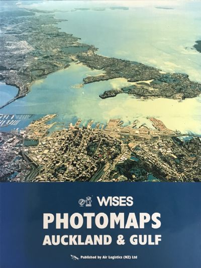
Undated. A collection of colour aerial maps of Auckland and surrounds.
$89.95NZD
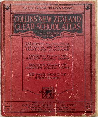
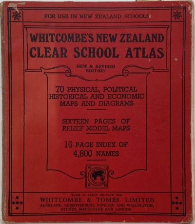
1956. Vintage traditional school atlas entirely revised and redrawn.
$49.95NZD
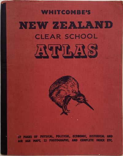
1963. A school atlas specially compiled for use in Intermediate and post primary schools.
ISBN# 0460861808
$89.95NZD
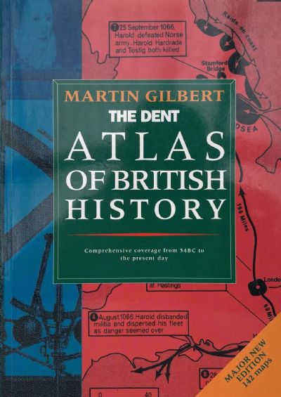
1968. Major new edition contains 142 monochrome maps covering British history from 45 BC to the present day
$149.95NZD
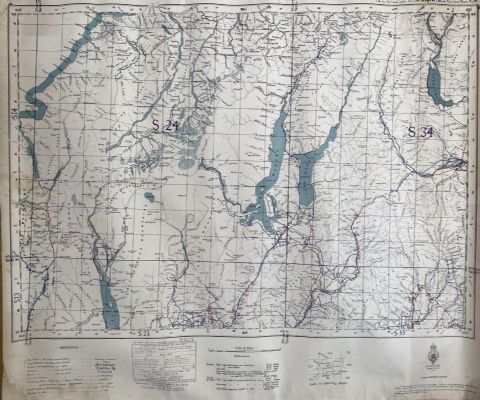
1962. 1st edition. Issued by Department of Lands and Survey.
$199.95NZD
1974. Issued by Department of Lands and Survey.
$149.95NZD
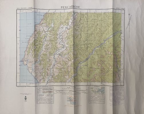
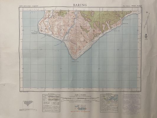
1965. Issued by N.Z.M.S / Department of Lands and Survey cartographer. This is original, not a modern reproduction.
$89.95NZD
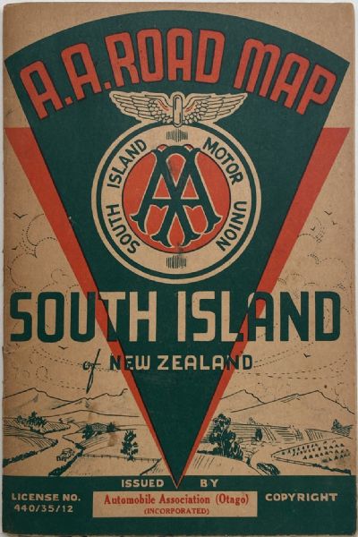
1950. Vintage AA road map of the South Island.
$149.95NZD
1950. Issued by H.M. Stationery Office by Charley & Pickersgill Ltd. This is original, not a modern reproduction.
$149.95NZD
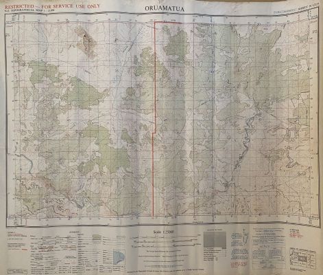
1965. 1st edition. Issued by N.Z.M.S / Department of Lands and Survey cartographer. This is original, not a modern reproduction.
$149.95NZD
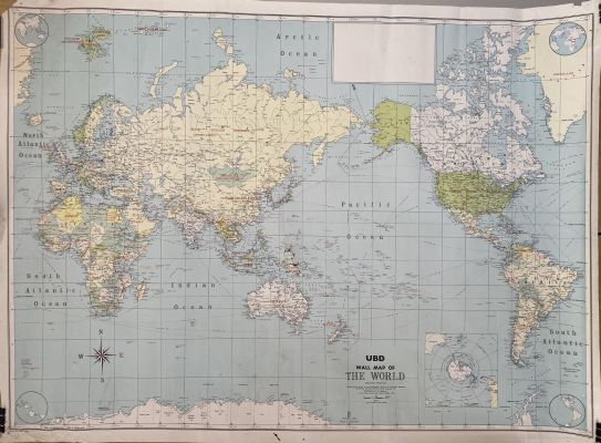
1970. The World issued by Universal Business Directories. Depicts many countries that no longer exist.